
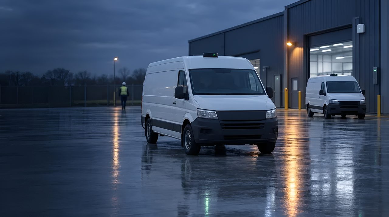
GPS / GNSS: como funciona o posicionamento por satélite.
GPS é a tecnologia que a maioria das equipes corporativas já conhece: está presente em todos os smartphones, veículos, todos os dispositivos de rastreamento de contêineres.
Mas o GPS padrão é uma constelação; receptores modernos combinam o GPS com Galileo, GLONASS e BeiDou em múltiplas constelações GNSS, com precisão e disponibilidade significativamente melhores.
Esta é a explicação em nível de operador de como o GNSS padrão realmente funciona, onde ele vence e quando você deve avançar para o GNSS de precisão RTK ou stacks híbridos.
A definição de 30 segundos
GPS (Sistema de Posicionamento Global) é a constelação de satélites dos Estados Unidos que iniciou operações civis na década de 1990. 31 satélites transmitindo sinais de temporização a partir da órbita média da Terra.
GNSS (Sistemas Globais de Navegação por Satélite) é o termo guarda-chuva que abrange o GPS plus Galileu (UE), GLONASS (Rússia), BeiDou (China), e sistemas regionais como QZSS (Japão) e NavIC (Índia).
Chips receptores modernos escutam todos ao mesmo tempo, multiconstelação GNSS, o que melhora drasticamente a disponibilidade em cânions urbanos e folhagem densa.
A precisão do GNSS de consumo é de 3 a 5 m em condições de visão clara do céu; GNSS multibanda (L1 + L5 banda dupla) eleva isso para 1-2 m com a mesma antena. Para precisão submétrica ou centimétrica, veja GNSS-RTK.
Como o GNSS realmente funciona
Cada satélite transmite sua posição precisa e o horário exato.
Um receptor escuta pelo menos quatro satélites, mede o tempo que cada sinal levou para chegar (que, multiplicado pela velocidade da luz, é a distância até aquele satélite) e resolve a geometria para calcular sua própria posição e tempo 3D.
O receptor não transmite nada de volta. O GNSS é uma transmissão unidirecional.
Horário de partida a frio (primeira correção de um receptor desligado) normalmente leva de 30 a 90 segundos para download de ephemeris;
A- GPS (Assisted GPS) via celular ou Wi-Fi entrega dados de efemérides e almanaque em segundos, reduzindo o arranque a frio para menos de 5 segundos.
Multibanda receptores comparam sinais L1 (1575 MHz) e L5 (1176 MHz) para cancelar o erro ionosférico, a maior fonte de imprecisão padrão do GNSS.
Onde o GNSS padrão é a resposta certa
Cinco categorias são para maturidade. Telemática de veículos e frotas: todo caminhão, van, veículo de entrega,
táxi e scooter compartilhado na estrada hoje carrega o GNSS padrão, a precisão é suficiente para auditoria de rotas, geofencing, ETAs, comportamento do motorista e recuperação de bens.
Rastreamento de ativos externos: contêineres de transporte, ativos retornáveis, equipementos de fábrica, gado, GNSS padrão combinado com celular (LTE-M / NB-IoT) ou backhaul LoRaWAN.
Equipamentos de construção e serviço de campo: Telemetria amarelo-ferro, horas de operação, recuperação de roubo, fiscalização de geozona.
Força de trabalho móvel e entrega na última milha: prova de entrega do courier, conformidade de rota, comprovação de chegada pontual. Vestíveis para consumidores e esportes: Relógios GPS, rastreadores de fitness, computadores de ciclismo recreativo.
GPS vs as alternativas
A precisão depende do seu local, e nós a confirmamos na vistoria. Mesmos satélites, receptor e pipeline de correção diferentes. O RTK é necessário para agricultura de precisão, controle de máquinas de construção, veículos autônomos ao ar livre e levantamento.
GNSS vs posicionamento celular: triangulação celular fornece 50-500 m e só funciona em cobertura; GNSS é independente de qualquer rede. Muitos dispositivos usam ambos, com celular como plano B em ambientes internos.
Posicionamento GNSS vs Wi-Fi: Wi-Fi oferece 10-50 m em ambientes internos onde GNSS falha. GNSS vs UWB / BLE / RFID: categorias completamente diferentes, GNSS para áreas externas com vista para o céu, o restante para ambientes internos e densos.
GNSS vs híbrido GNSS -LPWAN: chips mais recentes (Semtech LR1110 / LR2021) integram o sniffing GNSS em dispositivos LoRaWAN para rastreamento externo de ultra baixo consumo (GNSS para posição, LoRaWAN para backhaul, semanas a anos em uma bateria).
Limitações realistas
Cinco restrições são reais. É necessária visão do céu: GNSS falha em ambientes fechados, em túneis, sob denso dossel de árvores e em cânions urbanos ("cidades multicaminho", Manhattan, Hong Kong, centro de Londres).
A precisão é de nível consumidor: 3-5 m típico, 1-2 m com multibanda.
Não é suficiente para levantamento, controle de máquinas ou agricultura de precisão.
Consumo de energia: correção contínua do GNSS consome 20-50 mA. Rastreadores movidos a bateria precisam de agendamento em ciclo de serviço, modos de suspensão ou híbrido GNSS-LPWAN para durar semanas ou anos.
Falsificação e interferência: GNSS não é autenticado e facilmente suplantável por qualquer pessoa com rádio definido por software; As aplicações de defesa, infraestrutura crítica e transporte de chamadas precisam cada vez mais de medidas anti-falsificação.
Latência de partida a frio sem A- GPS: 30-90 segundos é lento demais para muitos casos de uso, A- GPS sobre celular agora é uma tabela para rastreadores de ativos.
Paisagem de fornecedores e ecossistemas
Silício e módulos: u-blox domina os módulos GNSS de nível empresarial, MAX-M10 (multiconstelação de baixo consumo), NEO-M9N (consumidor multibanda), ZED-F9P (RTK de precisão).
Quectel (L76, L80, LC76G), Telit (SE150, SL871), MediaTek (MT3333, MT5933), Broadcom (BCM4775) e STMicroelectronics (Teseo) competem em diferentes faixas de preço. Processadores de aplicações: Qualcomm, MediaTek e Samsung integram o GNSS aos SoCs de smartphones.
Celular - Combinação GNSS: Quectel BG95-M3 e you-blox SARA-R510 combinam celular LTE-M / NB-IoT com multiconstelação GNSS para rastreadores de ativos. Híbrido GNSS -LPWAN: Semtech LR1110 / LR2021 integram o sniffing GNSS ao LoRaWAN.
Ecossistema de serviços: Skyhook, Combain e API de Geolocalização do Google para celular e Wi-Fi para o posicionamento de emergência. A- GPS: Servidores SUPL da u-blox AssistNow, Broadcom e grandes operadores multimunicipais.
Onde o TRACIO recomenda o GNSS padrão
Casos de uso que exigem posição externa onde 3-5 m (ou 1-2 m com multibanda) são suficientes: telemática de veículos e frotas;
rastreamento externo de ativos e retornáveis com celular ou backhaul LoRaWAN; telemática de equipementos de serviço de campo; entregas de courier e de última milha; Monitoramento de ferro amarelo da construção.
Recomendamos Avançando para o GNSS-RTK (GNSS-RTK) para veículos autônomos ao ar livre, agricultura de precisão, controle de máquinas de construção e aplicações de grau topográfico.
Recomendamos híbrido GNSS -LPWAN (Semtech LR1110 / LR2021) quando rastreadores de ativos movidos a bateria precisam de anos de vida útil com posições periódicas ao ar livre.
Para ambientes internos ou em cânions de edifícios, GNSS não é a ferramenta certa: UWB, BLE-AoA, Wi-Fi RTLS ou visual SLAM são.
Como ajudamos você a escolher rastreadores GNSS
Rastreadores GNSS diferem em bateria, frequência de envio, rede que transporta os dados (LTE-M, NB-IoT, LoRaWAN ou satélite), comportamento em ambientes internos e robustez. Primeiro definimos o requisito, montamos uma lista curta de rastreadores e redes, testamos a cobertura por onde seus ativos realmente passam, fazemos um piloto com um lote pequeno e conferimos os rastreadores entregues contra os critérios acordados. Não vendemos hardware, por isso o nosso aconselhamento continua independente. Veja rastreamento de ativos.
Perguntas frequentes
GPS ou GNSS: qual a diferença?
GPS é especificamente a constelação de satélites dos EUA. GNSS é o termo guarda-chuva que abrange GPS mais Galileo (UE), GLONASS (Rússia), BeiDou (China) e sistemas regionais.
Receptores modernos escutam todos ao mesmo tempo. De forma geral, quando alguém diz "GPS", geralmente quer dizer GNSS, mas para especificações de compras, pergunte quais constelações são suportadas.
Quão preciso é o GPS padrão na prática?
3-5 m no percentil 95 em condições de visão clara do céu com GNSS de banda única. 1-2 m com GNSS multibanda de dupla banda (L1+L5). Cânions urbanos, folhagem densa e ambientes internos degradam dramaticamente a precisão, às vezes até dezenas de metros ou nenhuma solução fixa.
Precisamos do RTK GNSS ou o GNSS padrão já é suficiente?
Depende das necessidades de precisão. Telemática de frota, geofencing, rastreamento de ativos, entrega na última milha: o GNSS padrão é suficiente.
Agricultura de precisão, controle de máquinas de construção, veículos autônomos ao ar livre, topografia. RTK é necessário para precisão em nível de cm. Nós dimensionamos o estágio 1.
Quanto tempo duram os rastreadores de ativos GNSS em uma bateria?
O GNSS com conserto contínuo consome uma bateria pequena em dias. O GNSS em ciclo de serviço (conserto a cada 15 minutos a algumas horas) dura meses.
Hybrid GNSS - LPWAN trackers (baseados em Semtech LR1110, com backhaul celular ou LoRaWAN) podem durar 5+ anos com relatórios de posição periódicos.
O GNSS funciona em ambientes fechados?
Na prática, não, a atenuação do sinal em telhados e paredes reduz a qualidade do repara abaixo do necessário.
Para posicionamento interno, UWB, BLE-AoA, Wi-Fi RTLS ou visual SLAM são as alternativas. Muitos dispositivos empresariais combinam o GNSS para ambientes externos com um desses para ambientes internos.
O GNSS é seguro contra falsificação?
O GNSS civil padrão não é autenticado e pode ser falsificado com equipementos de rádio definidos por software prontos.
Galileo OS-NMA (Open Service Navigation Message Authentication, agora operacional) adiciona autenticação; Receptores multiconstelação cruzam os sinais para garantir consistência.
Aplicações de defesa, infraestrutura crítica e transporte de alto valor precisam cada vez mais de medidas anti-falsificação.
Como o GNSS se integra com nossos sistemas corporativos?
Através do backhaul do dispositivo (celular ou LoRaWAN) para uma plataforma telemática (Geotab, Samsara, Verizon Connect, Trimble, etc.) ou diretamente para seu TMS / WMS via API.
Projetamos arquitetura de integração na etapa 1. Veja /integrações para nossos padrões empresariais.
Última atualização: