
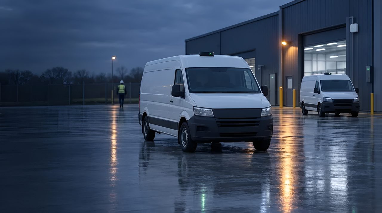
GPS / GNSS: hoe satellietpositionering werkt.
GPS is de technologie die de meeste enterprise-teams al kennen. Het zit in elke smartphone, elk voertuig, elk container-trackingapparaat.
Maar standaard GPS is één constellatie; moderne ontvangers combineren GPS met Galileo, GLONASS en BeiDou tot multi-constellatie GNSS, met aanzienlijk betere nauwkeurigheid en beschikbaarheid.
Dit is de operator-niveau uitleg over hoe standaard GNSS eigenlijk werkt, waar het wint, en wanneer je moet overstappen op RTK precisie GNSS of hybride stacks.
De 30-secondendefinitie
GPS (Global Positioning System) is de Amerikaanse satellietconstellatie die in de jaren negentig met civiele operaties begon. 31 satellieten die timingsignalen uitzenden vanuit een middelhoge baan om de aarde.
GNSS (Global Navigation Satellite Systems) is de overkoepelende term voor GPS plus Galileo (EU), GLONASS (Rusland), BeiDou (China), en regionale systemen zoals QZSS (Japan) en NavIC (India).
Moderne ontvangerchips luisteren naar ze allemaal tegelijk, multi-constellatie GNSS, wat de beschikbaarheid in stedelijke canyons en dicht gebladerte aanzienlijk verbetert.
De consumentennauwkeurigheid van de GNSS is 3-5 m bij heldere hemelomstandigheden; multiband GNSS (L1 + L5 dual-band) brengt dat op 1-2 m met dezelfde antenne. Voor nauwkeurigheid van submeter of centimeter, zie GNSS-RTK.
Hoe GNSS eigenlijk werkt
Elke satelliet zendt zijn precieze positie en het exacte tijdstip uit.
Een ontvanger luistert naar minstens vier satellieten, meet de tijd die elk signaal nodig had om aan te komen (wat, vermenigvuldigd met de lichtsnelheid, de afstand tot die satelliet is), en lost de geometrie op om zijn eigen 3D-positie en tijd te berekenen.
De ontvanger zendt niets terug. GNSS is een eenrichtingsuitzending.
Koudstarttijd (de eerste oplossing van een uitgeschakelde ontvanger) is meestal 30-90 seconden voor het downloaden van ephemeriden;
A- GPS (Geassisteerd GPS) via cellulair of Wi-Fi levert ephemeride- en almanakdata binnen enkele seconden, waardoor de koude start wordt teruggebracht tot minder dan 5 seconden.
Multiband ontvangers vergelijken L1 (1575 MHz) en L5 (1176 MHz) signalen om ionosferische fouten te neutraliseren, de grootste bron van standaard GNSS-onnauwkeurigheid.
Waar standaard GNSS het juiste antwoord is
Vijf categorieën zijn volwassen. Voertuig- en vloottelematica: elke vrachtwagen, bestelwagen, bezorgwagen,
taxi en gedeelde scooter op de weg draagt tegenwoordig standaard GNSS. Nauwkeurigheid is voldoende voor route-auditing, geofencing, ETA's, chauffeursgedrag en het terugvinden van activa.
Buitenactiva-tracking: zeecontainers, terugleverbare activa, installatieapparatuur, vee, standaard GNSS gecombineerd met cellulair (LTE-M / NB-IoT) of LoRaWAN backhaul.
Bouw- en veldserviceapparatuur: geel-ijzer telemetrie, looptijden, diefstalterugwinning, handhaving van de geozone.
Mobiele arbeidskrachten en last mile delivery: koeriersbewijs van levering, route-naleving, bewijs van tijdige aankomst. Consumentenwearables en sport: GPS-horloges, fitnesstrackers, recreatieve fietscomputers.
GPS versus de alternatieven
De nauwkeurigheid hangt af van uw locatie, en we bevestigen die in de site survey. Dezelfde satellieten, andere ontvanger en correctiepijplijn. RTK is vereist voor precisielandbouw, aanvoering van bouwmachines, autonome buitenvoertuigen en inspecties.
GNSS versus mobiele positionering: cellulaire triangulatie geeft 50-500 m en werkt alleen in dekking; GNSS is onafhankelijk van elk netwerk. Veel apparaten gebruiken beide met mobiel als reserveplan binnen.
GNSS vs Wi-Fi positionering: Wi-Fi geeft 10-50 m binnen, waar GNSS faalt. GNSS vs UWB / BLE / RFID: volledig verschillende categorieën, GNSS voor buiten met uitzicht op de lucht, de rest voor binnen en dichte omgevingen.
GNSS vs hybride GNSS -LPWAN: nieuwere chips (Semtech LR1110 / LR2021) integreren GNSS-sniffing in LoRaWAN-apparaten voor ultra-energiezuinig buitentracking (GNSS voor positionering, LoRaWAN voor backhaul, weken tot jaren op een batterij).
Bekende beperkingen
Vijf beperkingen zijn echt. Luchtzicht vereist: GNSS faalt binnen, in tunnels, onder dicht bladerdak en in stedelijke canyons ("multipath-steden", Manhattan, Hongkong, centraal Londen). Nauwkeurigheid is consumentenkwaliteit: 3-5 m typisch, 1-2 m met multiband.
Niet voldoende voor landmeten, machinebediening of precisielandbouw. Stroomverbruik: continue-fix GNSS verbruikt 20-50 mA. Batterijvoede trackers hebben duty cycle-planning, slaapstanden of hybride GNSS-LPWAN nodig om weken of jaren mee te gaan.
Spoofen en storen: GNSS is niet geauthenticeerd en eenvoudig te spoofen door iedereen met een softwaregedefinieerde radio; Defensie-, kritieke infrastructuur- en ride-hail-applicaties hebben steeds meer anti-spoofingmaatregelen nodig.
Koude startlatentie zonder A- GPS: 30-90 seconden is te traag voor veel gebruikssituaties. A-GPS via mobiel is nu standaard voor asset trackers.
Leveranciers en ecosysteem
Silicium en modules: u-blox domineert enterprise-grade GNSS-modules, MAX-M10 (low-power multi-constellatie), NEO-M9N (multi-band consument), ZED-F9P (precisie RTK).
Quectel (L76, L80, LC76G), Telit (SE150, SL871), MediaTek (MT3333, MT5933), Broadcom (BCM4775) en STMicroelectronics (Teseo) concurreren over prijsniveaus. Applicatieprocessors: Qualcomm, MediaTek en Samsung integreren GNSS in smartphone-SoC's.
Cellular-GNSS combo: Quectel BG95-M3 en you-blox SARA-R510 combineren LTE-M / NB-IoT cellulair met multiconstellatie GNSS voor asset trackers. Hybride GNSS -LPWAN: Semtech LR1110 / LR2021 integreren GNSS sniffing in LoRaWAN.
Dienstenecosysteem: Skyhook, Combain en Google Geolocation API voor cellulair en Wi-Fi positionerings-fallback. A- GPS: Supl-servers van u-blox AssistNow, Broadcom en grote MNO's.
Waar TRACIO standaard GNSS aanbeveelt
Gebruikssituaties die buitenpositie vereisen waar 3-5 m (of 1-2 m met multiband) voldoende is: voertuig- en vloottelematica;
buitenactiva en terugretour-asset tracking met cellulaire of LoRaWAN backhaul; telematica voor veldserviceapparatuur; koerier en last-mile bezorging; Constructie Geelijzer monitoring.
Wij raden aan Op naar GNSS-RTK (GNSS-RTK) voor autonome buitenvoertuigen, precisielandbouw, constructiemachinebesturing en survey-grade toepassingen.
Wij raden aan hybride GNSS -LPWAN (Semtech LR1110 / LR2021) wanneer batterij-aangedreven asset trackers jaren levensduur nodig hebben met periodieke buitenpositie.
Voor binnen- of gebouw-canyonomgevingen is GNSS niet het juiste hulpmiddel. UWB, BLE-AoA, Wi-Fi, RTLS of visual SLAM zijn dat wel.
Hoe wij u helpen GNSS-trackers te kiezen
GNSS-trackers verschillen in batterijduur, meldfrequentie, het netwerk dat de data draagt (LTE-M, NB-IoT, LoRaWAN of satelliet), hun gedrag binnen en hun robuustheid. Wij leggen eerst de eis vast, maken een shortlist van trackers en netwerken, testen de dekking waar uw assets echt komen, doen een pilot met een kleine serie en controleren de geleverde trackers tegen de afgesproken criteria. Wij verkopen geen hardware, dus ons advies blijft onafhankelijk. Zie asset tracking.
Veelgestelde vragen
GPS of GNSS: wat is het verschil?
GPS is specifiek de Amerikaanse satellietconstellatie. GNSS is de overkoepelende term die GPS plus Galileo (EU), GLONASS (Rusland), BeiDou (China) en regionale systemen omvat.
Moderne ontvangers luisteren naar ze allemaal tegelijk. Globaal gezegd, als iemand zegt "GPS", bedoelt men meestal GNSS, maar voor inkoopspecificaties kun je vragen welke constellaties worden ondersteund.
Hoe nauwkeurig is standaard GPS in de praktijk?
3-5 m op het 95e percentiel bij heldere hemelomstandigheden met enkelbandige GNSS. 1-2 m met dual-band (L1+L5) multiband GNSS. Stedelijke canyons, dicht gebladerte en binnenomgevingen verslechteren de nauwkeurigheid drastisch, soms tot tientallen meters of helemaal geen fix.
Hebben we RTK GNSS nodig, of is standaard GNSS voldoende?
Het hangt af van de nauwkeurigheidsbehoefte. Vloottelematica, geofencing, asset tracking, last-mile levering: standaard GNSS is voldoende.
Precisielandbouw, bouwmachinebesturing, autonome buitenvoertuigen, landmetingen: RTK is vereist voor nauwkeurigheid op cm-niveau. We nemen de grootte in fase 1.
Hoe lang gaan GNSS asset trackers mee op een batterij?
Continuous-fix GNSS verbruikt een kleine batterij binnen dagen. Duty-cycled GNSS (elke 15 minuten tot enkele uren fixen) gaat maanden mee.
Hybride GNSS -LPWAN trackers (gebaseerd op Semtech LR1110, met cellulaire of LoRaWAN backhaul) kunnen 5+ jaar meegaan met periodieke positierapporten.
Werkt GNSS binnenshuis?
Eigenlijk niet: signaaldemping door daken en muren verlaagt de kwaliteit onder de juiste temperatuur. Voor binnenpositionering zijn UWB, BLE-AoA, Wi-Fi RTLS of visual SLAM de alternatieven. Veel zakelijke apparaten combineren GNSS voor buiten met één van deze voor binnen.
Is GNSS veilig tegen spoofing?
Standaard civiele GNSS is niet geauthenticeerd en kan worden gesimuleerd met standaard software-gedefinieerde radioapparatuur.
Galileo OS-NMA (Open Service Navigation Message Authentication, nu operationeel) voegt authenticatie toe; Multi-constellatie-ontvangers controleren signalen op consistentie.
Defensie-, kritieke infrastructuur- en hoogwaardige ride-hail-toepassingen vereisen steeds vaker anti-spoofingmaatregelen.
Hoe integreert GNSS met onze bedrijfssystemen?
Via de backhaul van het apparaat (mobiel of LoRaWAN) naar een telematicaplatform (Geotab, Samsara, Verizon Connect, Trimble, enz.) of direct naar je TMS / WMS via API. We ontwerpen de integratiearchitectuur in fase 1. Zie RTLS & IoT-integraties voor onze enterprise patterns.
Laatst bijgewerkt: