
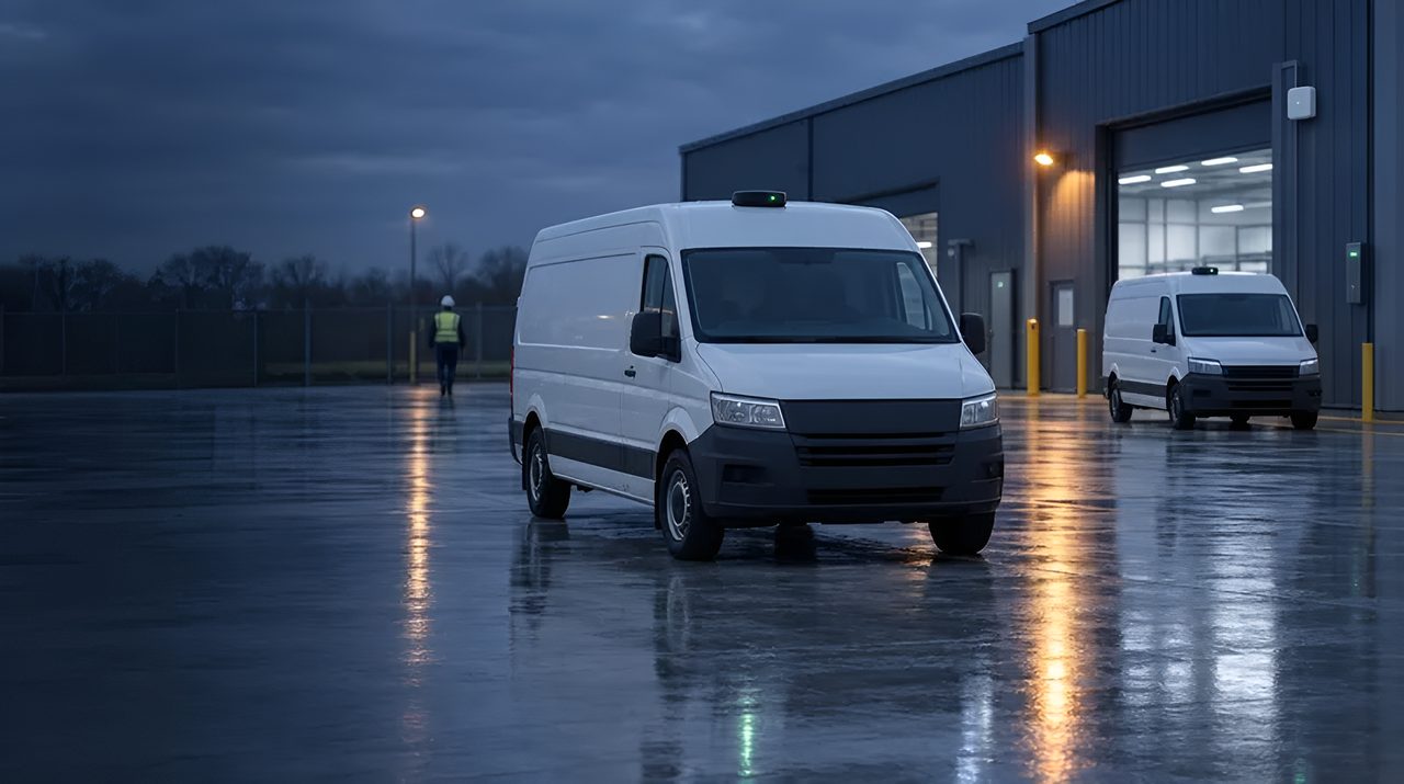
GPS / GNSS: come funziona il posizionamento satellitare.
GPS è la tecnologia che la maggior parte dei team aziendali già conosce: è presente in ogni smartphone, ogni veicolo, ogni dispositivo di tracciamento container.
Ma lo standard GPS è una costellazione; i ricevitori moderni combinano GPS con Galileo, GLONASS e BeiDou in GNSS multi-costellazione, con precisione e disponibilità significativamente migliori.
Questa è la spiegazione a livello operatore su come funziona effettivamente il GNSS standard, dove vince e quando dovresti passare a GNSS di precisione RTK o stack ibridi.
La definizione di 30 secondi
GPS (Global Positioning System) è la costellazione satellitare degli Stati Uniti che ha iniziato le operazioni civili negli anni '90: 31 satelliti che trasmettono segnali temporali dall'orbita terrestre media.
GNSS (Global Navigation Satellite Systems) è il termine ombrello che copre GPS plus Galileo (UE), GLONASS (Russia), BeiDou (Cina), e sistemi regionali come QZSS (Giappone) e NavIC (India).
I chip ricevitori moderni li ascoltano tutti contemporaneamente, multi-costellazione GNSS, il che migliora drasticamente la disponibilità nei canyon urbani e nella fitta vegetazione.
La precisione di consumo della GNSS è di 3-5 m in condizioni di vista del cielo sereno; GNSS multibanda (L1 + L5 doppia banda) porta questa distanza a 1-2 m con la stessa antenna. Per una precisione sub-metro o centimetrica, vedi GNSS-RTK.
Come funziona effettivamente GNSS
Ogni satellite trasmette la propria posizione precisa e l'orario esatto.
Un ricevitore ascolta almeno quattro satelliti, misura il tempo impiegato per ogni segnale ad arrivare (che, moltiplicato per la velocità della luce, è la distanza da quel satellite) e risolve la geometria per calcolare la propria posizione e tempo 3D.
Il ricevitore non trasmette nulla indietro. GNSS è una trasmissione unidirezionale.
Tempo di avvio a freddo (la prima correzione da un ricevitore spento) è tipicamente 30-90 secondi per il download di ephemerid; A- GPS (Assisted GPS) tramite cellulare o Wi-Fi fornisce dati di effemeri e almanacchi in pochi secondi, riducendo l'avvio a freddo a meno di 5 secondi.
Multi-band i ricevitori confrontano i segnali L1 (1575 MHz) e L5 (1176 MHz) per annullare l'errore ionosferico, la principale fonte di imprecisione standard GNSS.
Dove la GNSS standard è la risposta giusta
Cinque categorie sono mature. Telematica di veicoli e flotte: ogni camion, furgone, veicolo di consegna,
taxi e scooter condiviso oggi su strada è dotato di standard GNSS. La precisione è sufficiente per audit dei percorsi, geofencing, ETA, comportamento del conducente e recupero dei beni.
Tracciamento delle risorse all'aperto: container di spedizione, beni restituibili, attrezzature per impianti, bestiame, GNSS standard combinato con cellulare (LTE-M / NB-IoT) o backhaul LoRaWAN.
Attrezzature per la costruzione e il servizio sul campo: telemetria gialla-ferro, ore di operazione, recupero furti, controllo della geozona.
Forza lavoro mobile e consegna all'ultimo miglio: prova di consegna del corriere, conformità al percorso, prova di arrivo puntuale. Dispositivi indossabili per consumatori e sport: Orologi GPS, tracker per il fitness, computer per ciclismo ricreativo.
GPS vs le alternative
La precisione dipende dal tuo sito e la confermiamo nel sopralluogo. Stessi satelliti, ricevitore e pipeline di correzione diversi. RTK è necessario per l'agricoltura di precisione, il controllo delle macchine da costruzione, i veicoli autonomi all'aperto e i rilievi.
GNSS vs posizionamento cellulare: la triangolazione cellulare fornisce 50-500 m e funziona solo in copertura; GNSS è indipendente da qualsiasi rete. Molti dispositivi usano entrambi con la rete mobile come riserva all'interno.
Posizionamento GNSS vs Wi-Fi: Wi-Fi offre 10-50 m all'interno dove GNSS fallisce. GNSS vs UWB / BLE / RFID: categorie completamente diverse (GNSS per esterni con vista sul cielo, il resto per ambienti indoor e densi).
GNSS vs ibrido GNSS -LPWAN: i chip più recenti (Semtech LR1110 / LR2021) integrano lo sniffing GNSS nei dispositivi LoRaWAN per il tracciamento esterno a ultra-bassa potenza (GNSS per la posizione, LoRaWAN per il backhaul, settimane o anni su batteria).
Limiti realistici
Cinque vincoli sono reali. Vista del cielo richiesta: GNSS fallisce al chiuso, nei tunnel, sotto fitte chiome arboree e nei canyon urbani ("città multipercorso", Manhattan, Hong Kong, centro di Londra). L'accuratezza è di livello consumer: 3-5 m tipico, 1-2 m con multibanda.
Non sufficiente per rilievi, controllo meccanico o agricoltura di precisione.
Consumo energetico: la soluzione continua GNSS consuma 20-50 mA. I tracker alimentati a batteria necessitano di programmazione per il ciclo di lavoro, modalità di sospensione o ibridi GNSS-LPWAN per durare settimane o anni.
Spoofing e disturbo: GNSS non è autenticato ed è facilmente spoofabile da chiunque abbia una radio definita software; le applicazioni di difesa, infrastrutture critiche e ride-hail necessitano sempre più di misure anti-spoofing.
Latenza di avviamento a freddo senza A- GPS: 30-90 secondi è troppo lento per molti casi d'uso. A- GPS su cellulare è ora un tabellone per asset tracker.
Ambito dei fornitori ed ecosistemi
Silicio e moduli: u-blox domina i moduli enterprise GNSS, MAX-M10 (multi-costellazione a basso consumo), NEO-M9N (multi-banda consumer), ZED-F9P (precision RTK).
Quectel (L76, L80, LC76G), Telit (SE150, SL871), MediaTek (MT3333, MT5933), Broadcom (BCM4775) e STMicroelectronics (Teseo) competono in tutte le fasce di prezzo. Processori applicativi: Qualcomm, MediaTek e Samsung integrano GNSS nei SoC degli smartphone.
Cellulare - Combinazione GNSS: Quectel BG95-M3 e you-blox SARA-R510 combinano cellulari LTE-M / NB-IoT con multi-costellazione GNSS per asset tracker. Ibrido GNSS - LPWAN: Semtech LR1110 / LR2021 integrano lo sniffing GNSS in LoRaWAN.
Ecosistema di servizio: Skyhook, Combain e Google Geolocation API per il cellulare e il posizionamento Wi-Fi di riserva. A- GPS: Server SUPL da u-blox AssistNow, Broadcom e grandi MNO.
Dove TRACIO raccomanda la GNSS standard
Casi d'uso che richiedono una posizione esterna dove 3-5 m (o 1-2 m con multibanda) sono sufficienti: telematica di veicoli e flotte;
tracciamento esterno degli asset e dei beni restituibili con cellulare o backhaul LoRaWAN; telematica per apparecchiature di servizio sul campo; consegna corriere e dell'ultimo miglio; monitoraggio del lavoro in ferro giallo.
Lo consigliamo salire a GNSS-RTK (GNSS-RTK) per veicoli autonomi all'aperto, agricoltura di precisione, controllo di macchine da costruzione e applicazioni di grado rilevante.
Lo consigliamo ibrido GNSS -LPWAN (Semtech LR1110 / LR2021) quando i tracciatori di asset alimentati a batteria necessitano di anni di vita con posizioni periodiche all'aperto.
Per ambienti interni o edifici-canyon, GNSS non è lo strumento giusto: UWB, BLE-AoA, Wi-Fi RTLS o visivo SLAM lo sono.
Come ti aiutiamo a scegliere i tracker GNSS
I tracker GNSS differiscono per batteria, frequenza di trasmissione, rete che trasporta i dati (LTE-M, NB-IoT, LoRaWAN o satellite), comportamento al chiuso e robustezza. Prima fissiamo il requisito, poi creiamo una rosa di tracker e reti, testiamo la copertura dove i tuoi asset si muovono davvero, facciamo un pilota con un piccolo lotto e verifichiamo i tracker consegnati rispetto ai criteri concordati. Non vendiamo hardware, quindi la nostra consulenza resta indipendente. Vedi il tracciamento degli asset.
Domande frequenti
GPS o GNSS: qual è la differenza?
GPS è specificamente la costellazione satellitare degli Stati Uniti. GNSS è il termine ombrello che copre GPS più Galileo (UE), GLONASS (Russia), BeiDou (Cina) e i sistemi regionali.
I ricevitori moderni li ascoltano tutti insieme. In termini generali, quando qualcuno dice "GPS" di solito intende GNSS, ma per le specifiche di approvvigionamento, chiedi quali costellazioni sono supportate.
Quanto è preciso il GPS standard nella pratica?
3-5 m al 95° percentile in condizioni di cielo limpido con GNSS a banda singola. 1-2 m con GNSS multibanda dual-band (L1+L5). I canyon urbani, il fogliame fitto e gli ambienti interni degradano drasticamente la precisione, a volte fino a decine di metri o nessuna soluzione.
Abbiamo bisogno di RTK GNSS, o lo standard GNSS è sufficiente?
Dipende dalle esigenze di accuratezza. Telematica della flotta, geofencing, tracciamento degli asset, consegna all'ultimo miglio. Lo GNSS standard è sufficiente.
Agricoltura di precisione, controllo di macchine da costruzione, veicoli autonomi all'aperto, rilievo: RTK è necessario per una precisione a livello di centimetri. Noi ci faccio in fase 1.
Quanto durano i tracciatori di asset GNSS su una batteria?
La GNSS con riparazione continua scarica una piccola batteria in pochi giorni. GNSS a ciclo di servizio (da riparare ogni 15 minuti fino a qualche ora) dura mesi.
Hybrid GNSS - Tracker LPWAN (basati su Semtech LR1110, con cellulare o backhaul LoRaWAN) possono durare 5+ anni con report di posizione periodici.
GNSS funziona al chiuso?
Praticamente no: l'attenuazione del segnale attraverso tetti e muri risolve la qualità sotto l'uso.
Per il posizionamento interno, le alternative sono UWB, BLE-AoA, Wi-Fi RTLS o visual SLAM. Molti dispositivi aziendali combinano GNSS per esterni con uno di questi per l'interno.
GNSS è sicuro contro lo spoofing?
La GNSS civile standard non è autenticata e può essere falsificata con attrezzature radio definite software già pronte all'uso.
Galileo OS-NMA (Open Service Navigation Message Authentication, ora operativo) aggiunge l'autenticazione; i ricevitori multi-costellazione verificano i segnali per la coerenza.
Le applicazioni di difesa, infrastrutture critiche e ride-hail di alto valore richiedono sempre più misure anti-spoofing.
Come si integra GNSS con i nostri sistemi aziendali?
Attraverso il backhaul del dispositivo (cellulare o LoRaWAN) su una piattaforma telematica (Geotab, Samsara, Verizon Connect, Trimble, ecc.) oppure direttamente nel tuo TMS / WMS tramite API.
Progettiamo l'architettura di integrazione nella fase 1. Vedi Integrazioni RTLS & IoT per i nostri pattern aziendali.
Ultimo aggiornamento: