
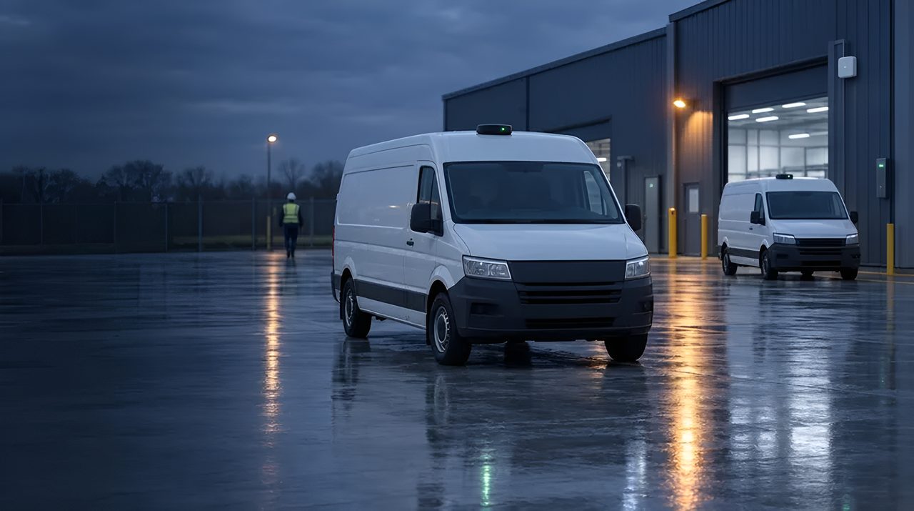
GPS / GNSS: wie Satellitenpositionierung funktioniert.
GPS ist die Technologie, die die meisten Unternehmensteams bereits kennen. Sie ist in jedem Smartphone, jedem Fahrzeug, jedem Container-Tracking-Gerät enthalten.
Aber der Standard-GPS ist ein Sternbild; moderne Empfänger kombinieren GPS mit Galileo, GLONASS und BeiDou zu einem mehrschichtigen GNSS mit deutlich besserer Genauigkeit und Verfügbarkeit.
Dies ist die Operator-Erklärung, wie Standard-GNSS tatsächlich funktioniert, wo es gewinnt und wann man auf RTK-Präzisions-GNSS oder Hybrid-Stacks umsteigen sollte.
Die 30-Sekunden-Definition
GPS (Global Positioning System) ist die US-amerikanische Satellitenkonstellation, die in den 1990er Jahren mit dem zivilen Betrieb begann: 31 Satelliten, die Zeitsignale aus mittlerem Erdorbit senden.
GNSS (Global Navigation Satellite Systems) ist der Oberbegriff für GPS plus Galileo (EU), GLONASS (Russland), BeiDou (China) sowie regionale Systeme wie QZSS (Japan) und NavIC (Indien).
Moderne Receiver-Chips hören alle gleichzeitig, Multi-Constellation-GNSS, was die Verfügbarkeit in städtischen Schluchten und dichtem Laub dramatisch verbessert.
Die Genauigkeit der GNSS für Verbraucher beträgt 3-5 m bei klarem Himmelsblick; Mehrband-GNSS (L1 + L5 Dualband) bringt das mit derselben Antenne auf 1-2 m. Für die Genauigkeit von Untermetern oder Zentimetern siehe GNSS-RTK.
Wie GNSS tatsächlich funktioniert
Jeder Satellit sendet seine genaue Position und die genaue Zeit.
Ein Empfänger hört mindestens vier Satelliten ab, misst die Zeit, die jedes Signal benötigte, um anzukommen (was, multipliziert mit der Lichtgeschwindigkeit, die Entfernung zu diesem Satelliten ist) und die Geometrie so löst, dass es seine eigene 3D-Position und -zeit berechnet.
Der Empfänger sendet nichts zurück. GNSS ist eine Einwegübertragung.
Kaltstartzeit (erste Korrektur von einem ausgeschalteten Empfänger) beträgt typischerweise 30-90 Sekunden für den Ephemeriden-Download;
A- GPS (Unterstütztes GPS) über Mobilfunk oder Wi-Fi liefert Ephemeriden- und Almanachdaten in Sekunden, wodurch der Kaltstart auf unter 5 Sekunden verkürzt wird.
Multiband Empfänger vergleichen L1- (1575 MHz) und L5- (1176 MHz)-Signale, um den ionosphärischen Fehler aufzuheben, die größte Ursache für Standard-GNSS-Ungenauigkeiten.
Wo Standard-GNSS die richtige Antwort ist
Fünf Kategorien sind reif. Fahrzeug- und Flottentelematik: Jeder Lkw, Lieferwagen, Lieferwagen, Taxi und gemeinsamer Roller auf der Straße trägt heute den Standard GNSS. Die Genauigkeit reicht für Routenprüfungen, Geofencing, ETAs, Fahrerverhalten und Vermögensbergung aus.
Außen-Asset-Tracking: Schiffscontainer, rückkehrbare Vermögenswerte, Anlagenausrüstung, Vieh, Standard-GNSS kombiniert mit Mobilfunk (LTE-M / NB-IoT) oder LoRaWAN-Backhaul.
Bau- und Außendienstausrüstung: Gelb-Eisen-Telemetrie, Laufzeiten, Diebstahlbergung, Geozonenkontrolle.
Mobile Arbeitskräfte und Lieferung auf der letzten Meile: Liefernachweis des Kuriers, Streckeneinhaltung, Nachweis der pünktlichen Ankunft. Consumer-Wearables und Sport: GPS-Uhren, Fitness-Tracker, Freizeit-Radcomputer.
GPS vs. die Alternativen
Die Genauigkeit hängt von Ihrem Standort ab, und wir bestätigen sie in der Standortbegehung. Gleiche Satelliten, anderer Empfänger und Korrekturpipeline. RTK ist für Präzisionslandwirtschaft, Baumaschinensteuerung, autonome Außenfahrzeuge und Vermessungen erforderlich.
GNSS vs. Mobilfunkpositionierung: Zelluläre Triangulation liefert 50-500 m und funktioniert nur in der Abdeckung; GNSS ist unabhängig von jedem Netzwerk. Viele Geräte nutzen beides, wobei Mobilfunk als Rückfallplan im Innenbereich dient.
GNSS vs Wi-Fi Positionierung: Wi-Fi gibt 10-50 m in Innenräumen, wo GNSS versagt. GNSS vs UWB / BLE / RFID: völlig unterschiedliche Kategorien (GNSS für draußen mit Himmelsblick, der Rest für drinnen und dichte Umgebungen).
GNSS vs Hybrid GNSS -LPWANNeuere Chips (Semtech LR1110 / LR2021) integrieren GNSS-Sniffing in LoRaWAN-Geräte für ultra-energieeffizientes Outdoor-Tracking: GNSS für die Position, LoRaWAN für Backhaul, Wochen bis Jahre auf einer Batterie.
Klare Einschränkungen
Fünf Einschränkungen sind real. Himmelsansicht erforderlich: GNSS scheitert in Innenräumen, in Tunneln, unter dichtem Baumdach und in städtischen Schluchten ("Multipath-Städte", Manhattan, Hongkong, Zentral-London).
Die Genauigkeit ist für Verbraucher geeignet: 3-5 m typisch, 1-2 m mit Mehrband.
Nicht ausreichend für Vermessung, Maschinensteuerung oder Präzisionslandwirtschaft.
Stromverbrauch: Der kontinuierliche GNSS verbraucht 20-50 mA. Batteriebetriebene Tracker benötigen Duty-Cycle-Planung, Schlafmodus oder einen hybriden GNSS-LPWAN-Hybrid, um Wochen oder Jahre zu halten.
Spoofing und Stören: GNSS ist nicht authentifiziert und von jedem mit einem softwaredefinierten Funkgerät trivial gefälscht; Verteidigungs-, kritische Infrastruktur- und Ride-Hail-Anwendungen benötigen zunehmend Anti-Spoofing-Maßnahmen.
Kaltstart-Latenz ohne A- GPS: 30-90 Sekunden sind für viele Anwendungsfälle zu langsam, A-GPS über Mobilfunk ist jetzt für Asset-Tracker ein Table-Stake.
Anbieter- und Ökosystemlandschaft
Silizium und Module: u-blox dominiert die Enterprise-Module GNSS, MAX-M10 (Energiespar-Multi-Konstellation), NEO-M9N (Multiband-Consumer), ZED-F9P (Präzisions-RTK).
Quectel (L76, L80, LC76G), Telit (SE150, SL871), MediaTek (MT3333, MT5933), Broadcom (BCM4775) und STMicroelectronics (Teseo) konkurrieren in Preiskategorien. Anwendungsprozessoren: Qualcomm, MediaTek und Samsung integrieren GNSS in Smartphone-SoCs.
Cellular-GNSS-Kombination: Quectel BG95-M3 und you-blox SARA-R510 kombinieren LTE-M / NB-IoT Mobilfunk mit Multi-Konstellationen GNSS für Asset Tracker. Hybrid GNSS -LPWAN: Semtech LR1110 / LR2021 integrieren GNSS-Sniffing in LoRaWAN.
Dienstleistungsökosystem: Skyhook, Combain und Google Geolocation API für Mobilfunk- und Wi-Fi-Positionierungs-Fallback. A- GPS: SUPL-Server von u-blox, AssistNow, Broadcom und großen MNOs.
Wo TRACIO Standard-GNSS empfiehlt
Anwendungsfälle, die eine Außenposition erfordern, bei denen 3-5 m (oder 1-2 m mit Multiband) ausreichen: Fahrzeug- und Flottentelematik;
Außen-Asset- und Rückgabe-Asset-Tracking mit Mobilfunk- oder LoRaWAN-Backhaul; Telematik für Außendienstgeräte; Kurier- und Last-Mile-Lieferung; Bau-Gelb-Eisen-Überwachung.
Wir empfehlen es Aufstieg zu GNSS-RTK (GNSS-RTK) für autonome Außenfahrzeuge, Präzisionslandwirtschaft, Baumaschinensteuerung und Vermessungsanwendungen.
Wir empfehlen es Hybrid GNSS: LPWAN (Semtech LR1110 / LR2021), wenn batteriebetriebene Asset-Tracker jahrelang mit periodischer Außenposition benötigen.
Für Innenräume oder Gebäude-Canyon-Umgebungen ist GNSS nicht das richtige Werkzeug: UWB, BLE-AoA, Wi-Fi RTLS oder visuelle SLAM sind es.
Wie wir Sie bei der Wahl von GNSS-Asset-Trackern unterstützen
GNSS-Tracker unterscheiden sich in Batterielaufzeit, Meldehäufigkeit, dem Netz, das die Daten trägt (LTE-M, NB-IoT, LoRaWAN oder Satellit), ihrem Verhalten in Gebäuden und ihrer Robustheit. Wir legen zuerst die Anforderung fest, erstellen eine Shortlist von Trackern und Netzen, testen die Abdeckung dort, wo Ihre Assets tatsächlich unterwegs sind, pilotieren eine kleine Serie und prüfen die gelieferten Tracker gegen die vereinbarten Kriterien. Wir verkaufen weder Tracker noch Datentarife. Siehe Asset-Tracking.
Häufig gestellte Fragen
GPS oder GNSS: was ist der Unterschied?
GPS ist speziell die US-Satellitenkonstellation. GNSS ist der Oberbegriff für GPS sowie Galileo (EU), GLONASS (Russland), BeiDou (China) und regionale Systeme.
Moderne Empfänger hören alle gleichzeitig ab. Locker gesagt, wenn jemand "GPS" sagt, meinen sie meist GNSS, aber bei den Beschaffungsspezifikationen fragen Sie, welche Konstellationen unterstützt werden.
Wie genau ist der Standard-GPS in der Praxis?
3-5 m im 95. Perzentil bei klarem Himmel mit Einband-GNSS. 1-2 m mit Dualband-(L1+L5) Mehrband-GNSS. Städtische Schluchten, dichtes Laub und Innenräume beeinträchtigen die Genauigkeit dramatisch, manchmal bis auf Dutzende Meter oder gar keine Fixierung.
Brauchen wir RTK GNSS, oder reicht Standard-GNSS aus?
Das hängt von den Anforderungen an die Genauigkeit ab. Flottentelematik, Geofencing, Asset Tracking, Last-Mile-Lieferung: Standard-GNSS reicht aus.
Präzisionslandwirtschaft, Baumaschinensteuerung, autonome Außenfahrzeuge, Vermessung: RTK ist für die Genauigkeit auf cm-Niveau erforderlich. Wir sind in Stufe 1 gefasst.
Wie lange halten GNSS-Asset-Tracker auf einer Batterie?
Continuous-fix GNSS entlädt einen kleinen Akku innerhalb von Tagen. Duty-cycled GNSS (Korrektur alle 15 Minuten bis ein paar Stunden) hält Monate.
Hybride GNSS-LPWAN-Tracker (Semtech LR1110-basiert, mit Mobilfunk- oder LoRaWAN-Backhaul) können mit periodischen Positionsberichten 5+ Jahre halten.
Funktioniert GNSS drinnen?
Tatsächlich nein: die Signaldämpfung durch Dächer und Wände sinkt die Qualität unter die Wirkung. Für die Innenraumpositionierung sind UWB, BLE-AoA, Wi-Fi RTLS oder visuelle SLAM die Alternativen.
Viele Unternehmensgeräte kombinieren GNSS für den Außenbereich mit einem dieser Geräte für den Innenraum.
Ist GNSS gegen Spoofing sicher?
Standardzivile GNSS ist nicht authentifiziert und kann mit standard, softwaredefinierten Funkgeräten gefälscht werden.
Galileo OS-NMA (Open Service Navigation Message Authentication, jetzt operationell) fügt Authentifizierung hinzu; Multi-Konstellation-Empfänger überprüfen die Signale auf Konsistenz.
Verteidigung, kritische Infrastruktur und hochwertige Ride-Hail-Anwendungen erfordern zunehmend Anti-Spoofing-Maßnahmen.
Wie integriert sich GNSS in unsere Unternehmenssysteme?
Über das Backhaul des Geräts (Mobilfunk oder LoRaWAN) in eine Telematikplattform (Geotab, Samsara, Verizon Connect, Trimble usw.) oder direkt in Ihr TMS / WMS über API. Wir entwerfen die Integrationsarchitektur in Stufe 1. Siehe /Integrationen für unsere Unternehmensmuster.
Zuletzt aktualisiert: