
Training and exercise tracking: after-action review from where people really were.After-action reviews built on where people think they were?
Training and exercise tracking for police, fire and military: after-action review based on where people really were. Force-on-force and training accountability with air-gap options.
Free 30-minute call with an adviser who works on defence training estates. Written proposal with the price after the call.
Talk to a defence adviser
Ranges, armouries, deployable kit and serialised assets. Book a call, download the CQB training brief (PDF), or ask us to ring you.
Prefer a call? Ask a defence adviser to ring you
Training RTLS fails when after-action review cannot replay the decision, only the track.
AAR workflow
Tracks without annotated events waste instructor time. Design the review client with the schoolhouse.
Force-on-force safety
Live instruments need hard safety interlocks and clear weapon-sim rules. Safety owns the architecture veto.
Classification
Data gravity and classification levels constrain cloud fantasies. Decide the enclave before the RF.
Five use cases on one location layer.
The same location layer can support force-on-force training, account for officers on the street, track fire appliances to scene and record evidence movements, using UWB, GNSS or RFID where each fits. One independently chosen tracking platform: five very different jobs.
1 · Live training & force-on-force
UWB in CQC training facilities and on outdoor ranges turns movement into an after-action timeline. See close-quarters (CQC) training.
2 · Personnel accountability & duress
Worn tags combine live position, no-motion / down-man detection, and panic-button events. Control rooms get location and time the instant an officer or firefighter is in trouble: indoors, outdoors and on the fireground.
3 · Equipment, weapons & evidence custody
RFID check-in and check-out at the armoury, locker and evidence store. See RFID for the armoury, evidence room and keys.
4 · Vehicle & fleet tracking
GNSS, GNSS-RTK and indoor RTLS handoff for patrol cars, fire engines, tactical vehicles and military assets. Live location into your CAD, dispatch and AVL system. Geofence stations, scenes and restricted areas without extra hardware.
5 · Incident command & mass-casualty
Live persons-on-scene, automatic muster at staging, triage-zone tagging for casualties, and accountability that survives the chaos of a major incident.
+ · Cross-cutting
Range and facility management, detention / custody accountability, K9 and equipment-vehicle pairing, calibration and maintenance tracking, built on the same RFID / RTLS infrastructure.
UWB → tactical and CQC training · GNSS-RTK → outdoor ranges & vehicles · Passive RFID → weapons & evidence custody · BLE → station presence
Which technology fits.
We work for you, not for the technology providers.
UWB
Indoor positioning for training, CQB and tactical operations.
GNSS / GNSS-RTK
Outdoor ranges, vehicle telematics and citywide patrol with clean indoor handoff.
Passive RFID
Battery-free weapons, evidence and armoury custody: passive and durable.
BLE
Station, locker-room and zone-level presence for everyday accountability.
ATEX / IECEx tags
Hazardous-area certified hardware for fire scenes, refineries and chemical incidents.
Standards-aligned
GS1 serialisation for custody, secure data handling, and integration to your CAD / RMS / EAM.
Close-quarters (CQC) training
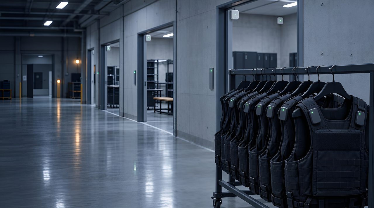
Without tracking, an after-action review relies on what the instructor saw and what each trainee remembers. With UWB, each person wears a small tag, and anchors on the walls or ceiling follow every tag during the run.
- A replay of each run, room by room, that you can pause at any doorway.
- Who went where, in what order, and how long each person spent in each space.
- Runs you can compare across a course, to support instructor oversight.
We don't sell hardware, so our advice stays independent. We help you choose it and prove it in one CQC training facility on rented equipment, against pass/fail criteria agreed in writing before the pilot starts.
Your security team sets the rules for where data lives, who sees replays and whether the system runs offline. We make sure the system can meet them, and we work within your export-control process.
RFID for the armoury, evidence room and keys
RFID can log sign-outs at the armoury door, give you a quick full count of the room and keep a clear record for evidence, keys and sensitive kit. We help you choose it and prove it in one room on rented equipment.
- Sign-outs at the door or issue hatch: what went out, who took it, when, and what came back.
- Quick full counts checked against your register: what's missing, extra or in the wrong place.
- Evidence moves recorded from shelf to lab, to court and back.
- Keys on tagged fobs, and radios, optics and other controlled kit, recorded at issue and return.
Most armoury items are metal, so tags are placed with care, never over a serial number or required marking, and your armourer signs off the fitting. The system should feed the register you already run. Whether its records meet your evidential rules is for your legal and professional standards teams to confirm.
Industries this solution suits
Three scenarios, one platform.
Police force. The UWB tags from its tactical training centre also serve daily operations: live officer location and automatic muster at incidents.
Fire & rescue service. A regional service tags every breathing-apparatus set, firefighter and appliance. Incident command sees live persons-on-scene at a major fire; the same tags log BA usage time for safety officers; cabin and locker compliance is captured without paperwork.
Military training unit. One after-action review covers the CQC training facility (UWB) and the outdoor lanes (GNSS-RTK).
Typically bought by: Chief of training, operations command, range officers, fire chief, IT & OT leads, evidence and armoury custodians.
Relevant case studies
Competitors (advisory view).
Force-on-force and MOUT training stacks increasingly combine instrumentation, simulated lethality and locating. Notable reference points include large programmes such as French Army CERBERE (Thales / RUAG with Quuppa-class local positioning for soldiers, vehicles and effects across multi-building urban sites), plus specialist defence instrumentation primes and industrial locating suppliers adapted for ranges. Commercial athlete LPS and industrial UWB platforms sometimes appear in lighter training or police/fire academies, with very different assurance, encryption and export-control needs.
How suppliers pitch vs what to buy. Suppliers pitch continuous tracks and after-action replay. Training audiences should buy: replay that reconstructs decisions and engagements (not only polylines); indoor-outdoor continuity in buildings, stairwells and tunnels; timing aligned to weapon/effects instrumentation; and data handling fit for restricted environments. We provide independent locating architecture and integration advice where programmes need an independent layer.
Frequently asked questions
Is this just for the military?
No. The same platform supports police tactical training and daily ops, fire and rescue incident drills and active response, and military force-on-force.
Same wearable tags, same indoor and outdoor location layer, five very different use cases on it, training, personnel accountability, weapons and evidence custody, vehicle tracking and incident command.
How do you protect officers and firefighters in real operations, not just training?
Worn tags combine live position with no-motion / down-man detection and a panic button.
Alerts route to the control room with location and time so help reaches every responder fast, indoors, outdoors, on the fireground and in GPS-denied environments where standard radios and phones lose context.
How is evidence and weapons chain-of-custody handled?
Passive RFID and UWB tags are read at every handoff between armoury, locker, vehicle, scene and exhibit-store, producing a time-stamped custody log aligned with GS1 serialisation standards. Whether it meets your evidential rules is for your legal team to confirm.
Does it work in GPS-denied environments, buildings, tunnels, urban canyons?
Yes. UWB and inertial systems give position inside CQC training facilities, tunnels, basements and high-rise interiors where GPS fails. How accurate it is depends on the supplier and the building; that’s what a pilot tests. Outdoor coverage uses GNSS or GNSS-RTK. A clean handoff between the two means you do not lose the responder at the door.
Can we run vehicles, personnel and evidence on one system?
Yes, that is the point. One independent RTLS platform serves all the use cases, with APIs into your CAD, dispatch, RMS, EAM, evidence platform and after-action review tools.
We don't sell hardware or take commissions from vendors.
Is the hardware ruggedised and certified for hazardous areas?
Tags are body-worn and ruggedised to survive realistic training and operational use. For fire scenes, refineries and chemical incidents we specify ATEX / IECEx-rated hardware.
Battery life, ingress protection, weight and uniform integration are scoped against your specific scenarios.
Last updated: 5 October 2026